About DT-GEO
Learn more about the project and its goals
Building the Future of Geohazard Resilience
DT-GEO is a European research project focused on changing the way we understand, forecast, and respond to geohazards.
Using digital twin technology and exascale computing, we develop cutting-edge tools to model Earth’s most dynamic systems, helping communities and decision-makers take informed and decisive action.
Objectives
Deploy
Develop a pre-operational prototype of a Digital Twin for geophysical extremes, ready for future integration into the Destination Earth European initiative.
Implement
Use 12 Digital Twin components to deliver precise early warning systems, forecasts, and hazard assessments across different time scales, all powered by data-driven insights.
Provide
Offer a flexible framework that ensures EOSC compliance and FAIR validation of project outputs, integrating seamlessly with HPC/cloud computing infrastructures.
Verify
Test DT-GEO’s solutions in real-world conditions at 13 key demonstration sites, chosen for their critical importance, across Europe and beyond to ensure reliability.
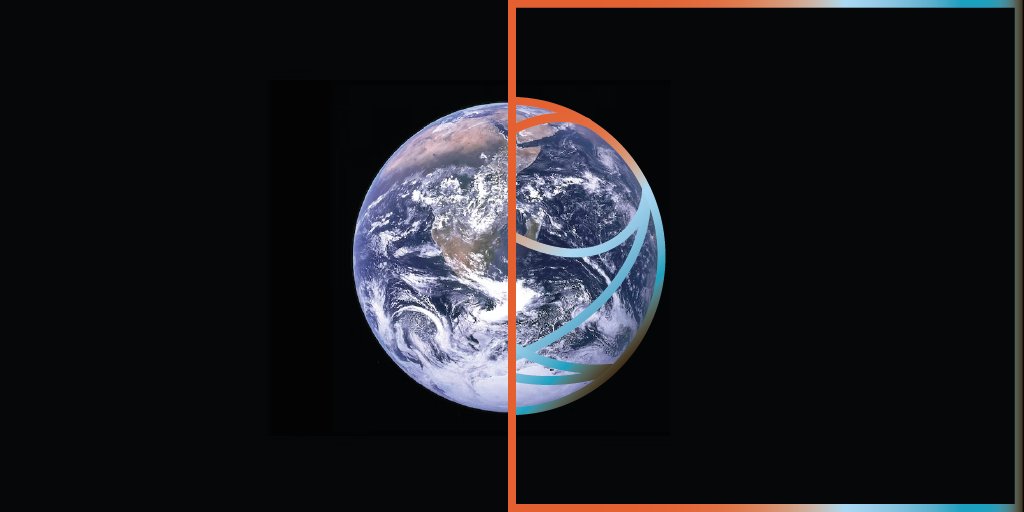
To achieve its goals, DT-GEO will build the components of a Digital Twin- virtual replica of physical systems that combine real-time data streams and high-fidelity models.
- Digital twins are built on interactive digital platforms, which allow for continuous observation and simulation of supercomputing tasks to recreate present and future scenarios.
- DT-GEO capitalises on the outburst of supercomputing and technical capabilities to carry out advanced, real-time modelling and analysis for diagnostics and forecasting.
Digital Twins 101
Digital TWins
A digital twin is a virtual model that replicates real-world geophysical processes like earthquakes and tsunamis.
How They Work
It uses real-time data, historical records, and advanced simulations to predict and analyze geohazards.
IMPORTANCE
They enable scenario testing, improve disaster preparedness, and enhance emergency response strategies.
DT-GEO’s Role
DT-GEO develops digital twins powered by exascale computing to support early warnings and monitoring networks.
DIGITAL TWIN COMPONENTS
0
SITE DEMONSTRATORS WHERE TO TEST
0
EUROPEAN RESEARCH INSTITUTIONS
0
Local Impact in a Global Context
DT-GEO research will help address specific scientific questions and technical challenges related to hazard assessment, early warning forecast, or urgent computing.
The digital twins of the Earth system will be able to mimic with unrivaled precision the different system components: atmosphere, ocean, land and lithosphere.
DT-GEO will represent an unprecedented advance in the way we monitor and predict some natural hazards, which will translate into benefits for the communities affected by these phenomena.
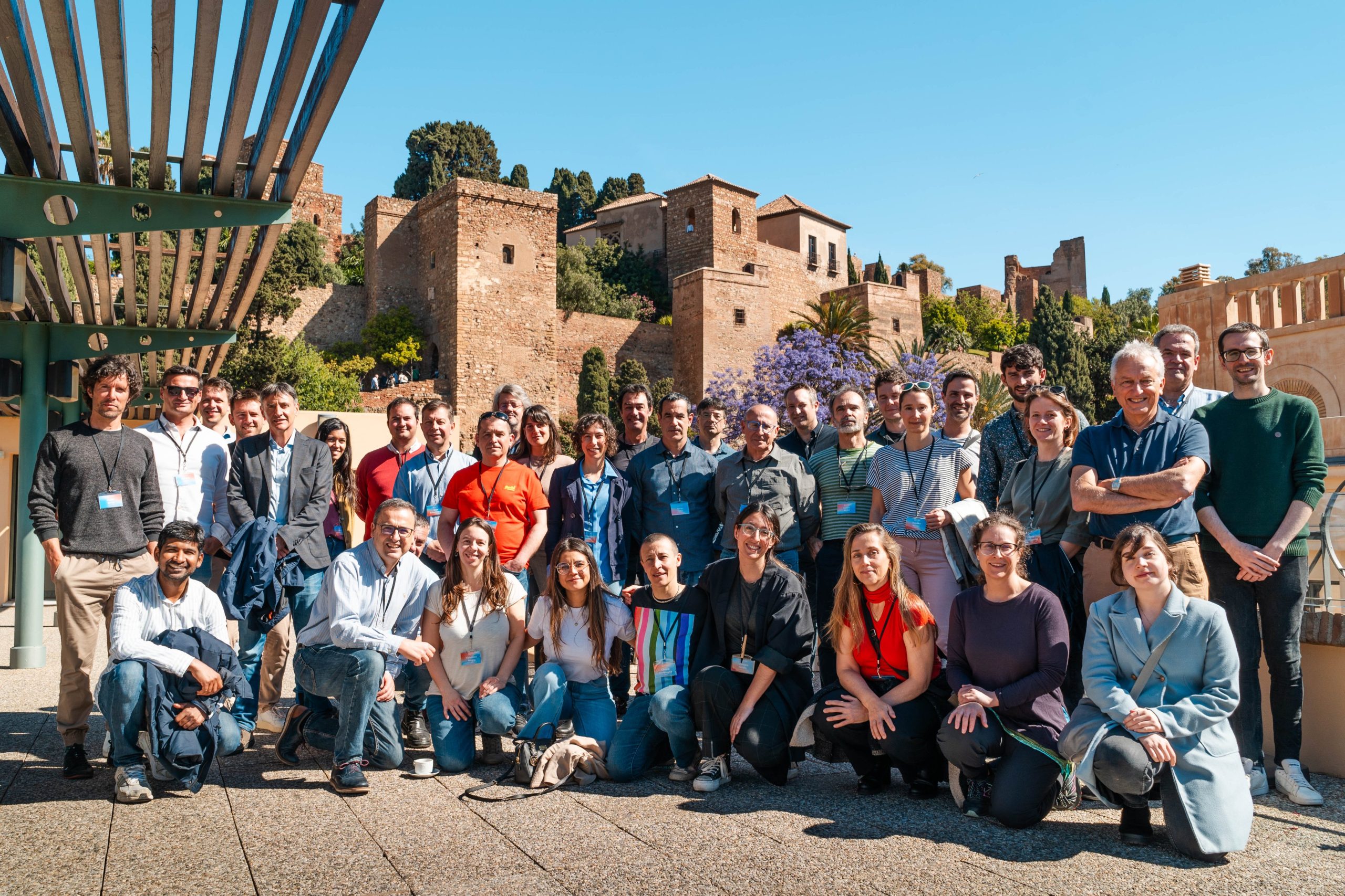
A Collaborative Effort
The project relies on the cooperative networks of 26 research institutions, building upon existing knowledge from other European projects and Centres of Excellence and pushing it forward.
DT-GEO brings together leading institutions across Europe, including operational monitoring networks, research centers, and HPC developers. This diverse partnership ensures our solutions are scientifically robust, technologically advanced, and practically impactful.
Towards a European Digital future
DT-GEO aims at being a first step of a long-term community effort towards a twin on geophysical extremes integrated in the Destination Earth (DestinE) initiative.
This ambitious European initiative plans to develop a high-precision digital model of the Earth with the purpose of mapping and anticipating climate-related events worldwide as accurately as possible.
As such, observational data collected by DT-GEO partners will be continuously integrated into DestinE Digital Twin to make the Earth model more accurate.