- The DT-GEO initiative should build the components of a Digital Twin to predict and analyse the impact of geophysical extreme events such as tsunamis, earthquakes, volcanoes, and anthropogenic seismicity.
- Resulting of the collaboration of 26 European research institutions, the project was launched officially at a kick-off meeting in Barcelona.

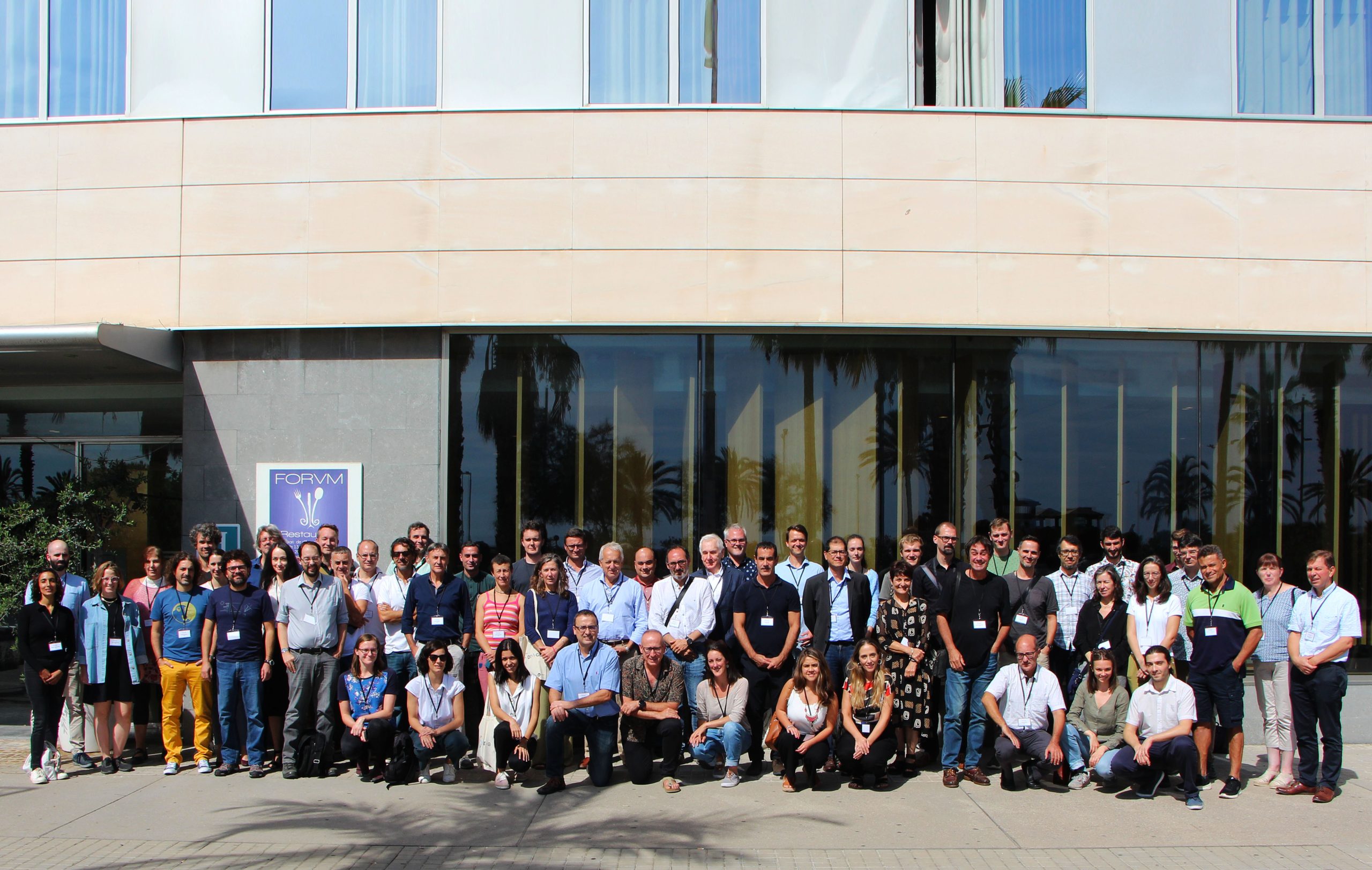
Project collaborators gathered for the kick-off meeting. / V. Vedia
On 19-20 September 2022, the Digital Twin for GEOphysical Extremes (DT-GEO) – kicked off in Barcelona, bringing together more than 100 collaborators and scientific researchers both in person and online. The conference aimed at aligning all DT-GEO Consortium partners while establishing imminent lines of action to be carried out.
Coordinated by Professors Arnau Folch and Ramon Carbonell (GEO3BCN-CSIC), this project is funded with 15 million euros through the Horizon Europe programme, carrying out the task of creating the prototype of a Digital Twin (DT) on geophysical extreme events as disruptive as volcanic eruptions, tsunamis, earthquakes, and other seismic phenomena of anthropogenic origin. “Our focus is to simulate these natural hazards to study them and predict their impact,” said Folch and Carbonell.
The DTs are virtual replicas of physical systems that combine real-time data streams and high-fidelity models in order to replicate natural processes and their impacts. They are built on interactive digital platforms, which allow for continuous observation, modelling, and simulation of supercomputing tasks to recreate present and future scenarios.
Thus, the project sustains itself on multidisciplinary cooperation that merges research lines in geosciences and supercomputing. “DT-GEO will represent an unprecedented advance in the way we monitor and predict some natural hazards, which will translate into benefits for the communities affected by these phenomena,” explained Folch.
DT-GEO relies mainly on the cooperative networks of 26 European research institutions, building upon existing knowledge from other European projects and Centres of Excellence and pushing it forward. Carbonell pointed out that “the long-term goal is to be integrated into Destination Earth.”
Destination Earth
Throughout the expected course of the project, DT-GEO intends to incorporate its advances in Destination Earth (DestinE). This ambitious European initiative plans to develop a high-precision digital model of the Earth with the purpose of mapping and anticipating climate-related events worldwide as accurately as possible.
As stated at the kick-off by Peter Bauer, one of the leading promoters of DestinE at the European Centre for Medium-Range Weather Forecasts (ECMWF), the DestinE Digital Twins will have three main features: they will feature model-based simulations with an unprecedented level of realism and accuracy; they will develop better ways to combine observed and simulated information from the entire earth system; and they will provide users with interactive and configurable access to data, models, and workflows.
As such, observational data collected by DT-GEO partners will be continuously integrated into the Digital Twin to make the Earth model more accurate.


