DT-GEO at EOSC Symposium 2024
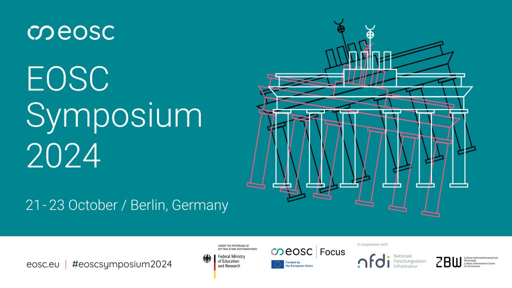
DT-GEO will be participating in the EOSC Symposium 2024, an important event focused on shaping the European Open Science Cloud (EOSC) post-2027.
HomeNews

DT-GEO will be participating in the EOSC Symposium 2024, an important event focused on shaping the European Open Science Cloud (EOSC) post-2027.

In the realm of geophysical research, the spotlight often shines on the dramatic—earthquakes, tsunamis, and volcanic eruptions. However, behind the scenes, essential infrastructure quietly powers these scientific advancements. One such critical component is the flexible framework for EOSC-enabling and FAIR-validation of project assets and outcomes, integrated into the European Plate Observing System (EPOS) and HPC/virtual cloud computing Research Infrastructures (RIs). This framework, while not as immediately eye-catching as a volcanic eruption, plays a pivotal role in ensuring that the data and tools researchers rely on are accessible, interoperable, and reusable.

As part of its pioneering use of digital twin technology, the DT-GEO project is making significant strides in enhancing our understanding and management of geophysical extremes, particularly tsunamis. By developing advanced forecasting models and integrating real-time data, DT-GEO aims to provide accurate and timely tsunami predictions, crucial for early warning systems and disaster preparedness.

The DT-GEO project is at the forefront of digital twin technology, aiming to revolutionize our understanding and management of geophysical extremes. A crucial aspect of this initiative is the deployment of Site Demonstrators (SDs), which serve as testing grounds for the project’s innovative Digital Twin Components. Here’s an in-depth look at the significance and implementation of these Site Demonstrators in five essential points:

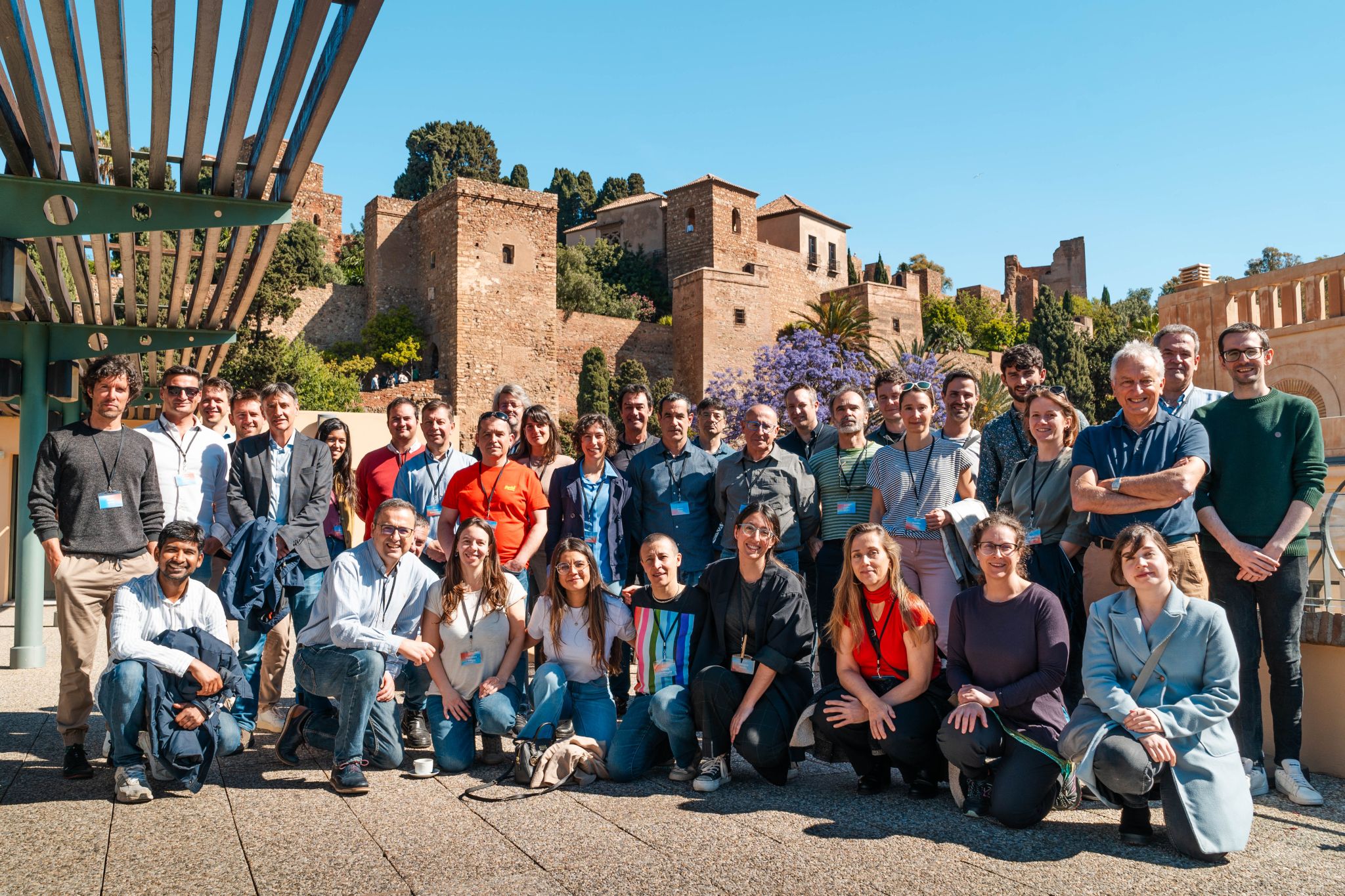
The second General Assembly of the DT-GEO project convened in Malaga on May 2-3, hosted by the University of Malaga (UMA). Partners shared updates on ongoing activities within each project work package and discussed future steps.

This project has received funding from the European Union’s Horizon Europe research and innovation programme under grant agreement nº 101058129.
Views and opinions expressed are however those of the author(s) only and do not necessarily reflect those of the European Union or Horizon Europe research and innovation programme. Neither the European Union nor the granting authority can be held responsible for them.